
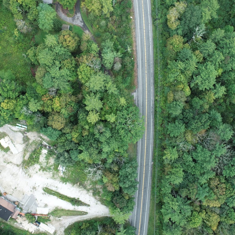
HIGH-RESOLUTION DRONE MAPS

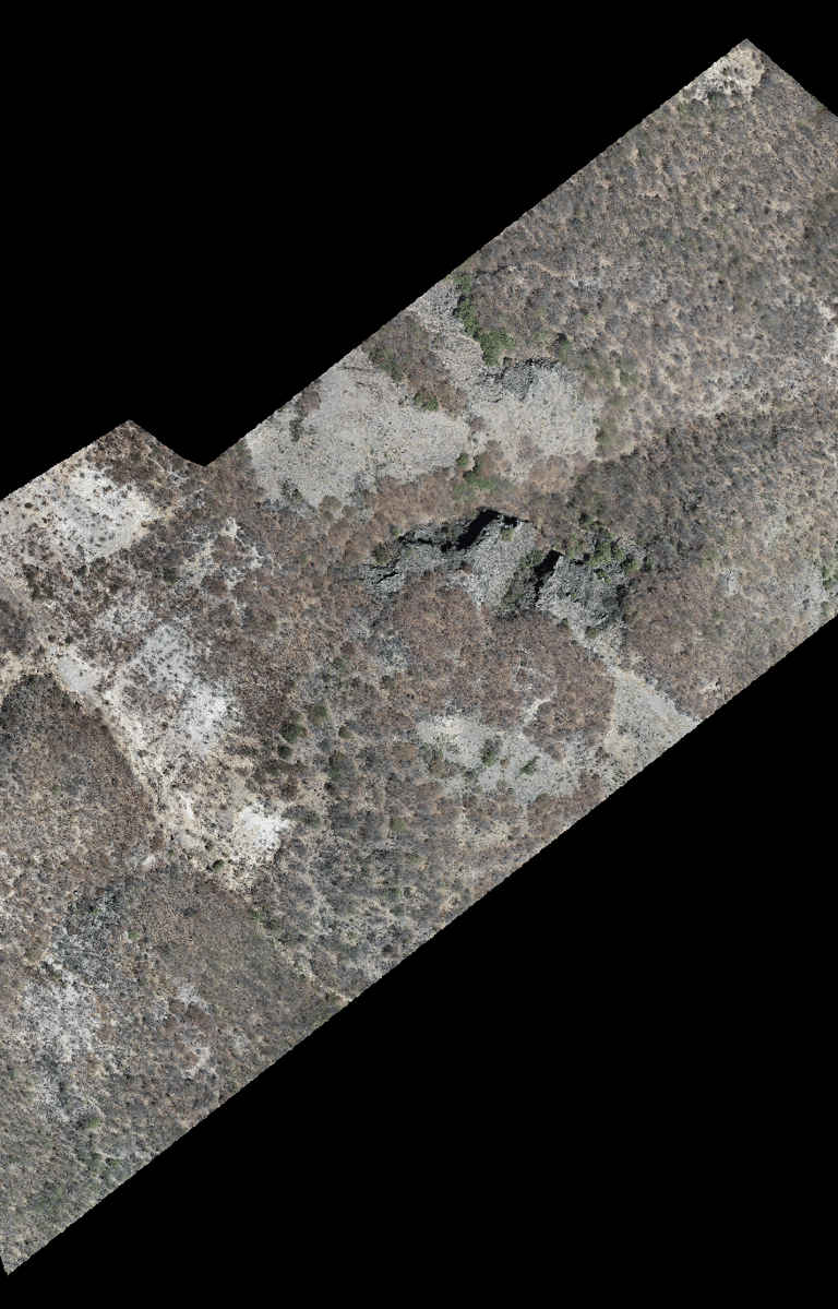

3 – 10 cm/Pixel
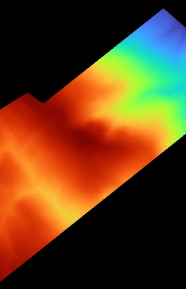
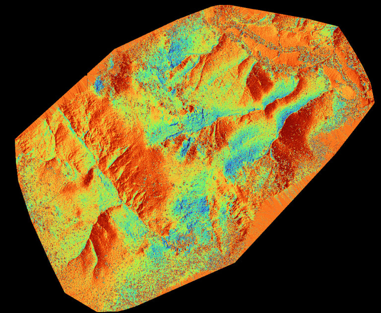
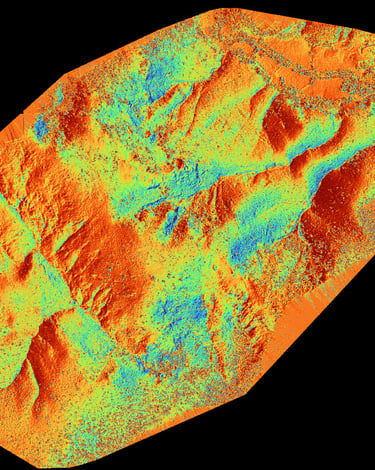
Digital Elevation Models
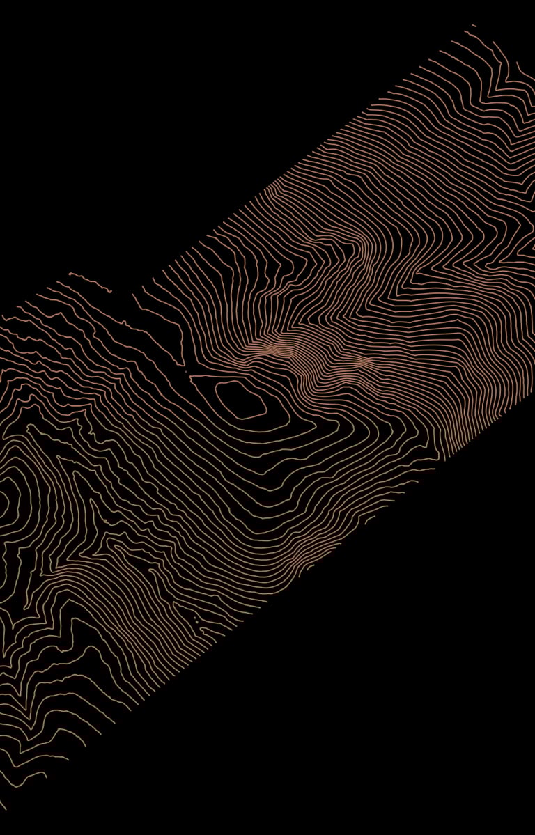
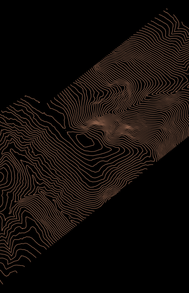
Contour Lines
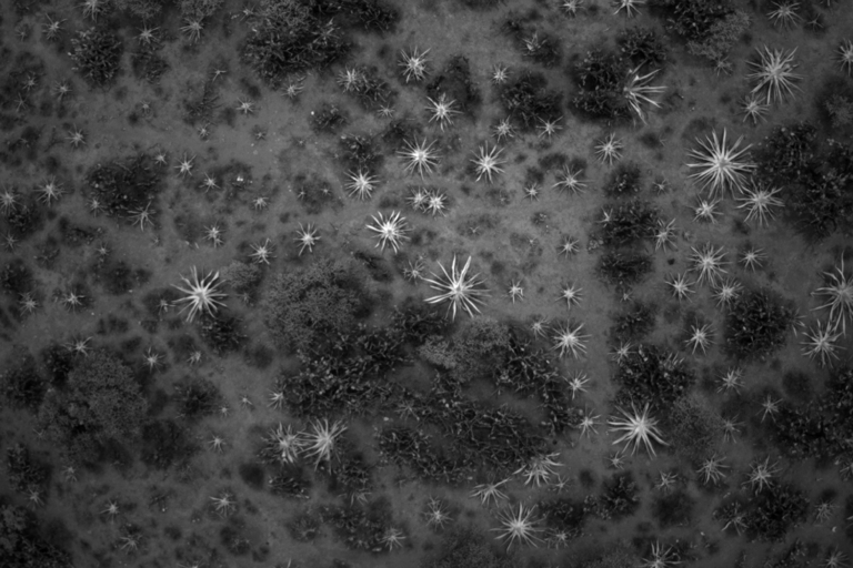
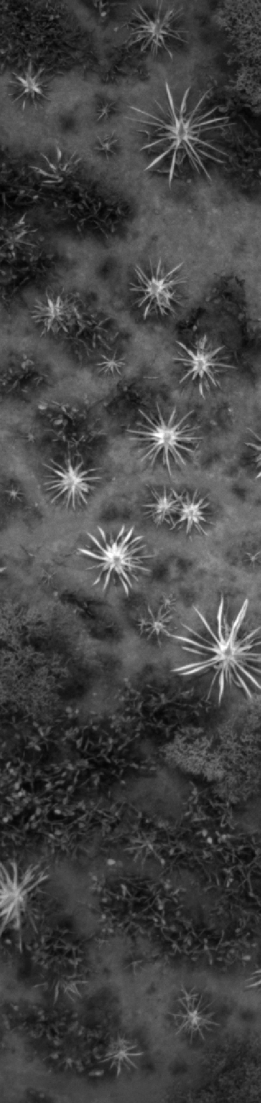
Canopy Height Model
Multispectral Imagery
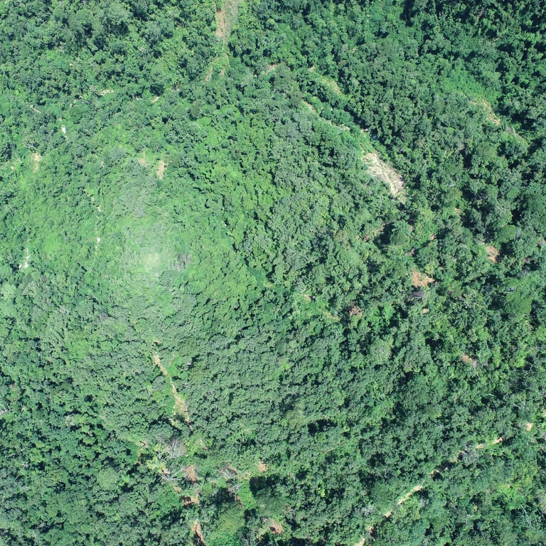
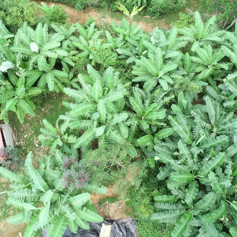
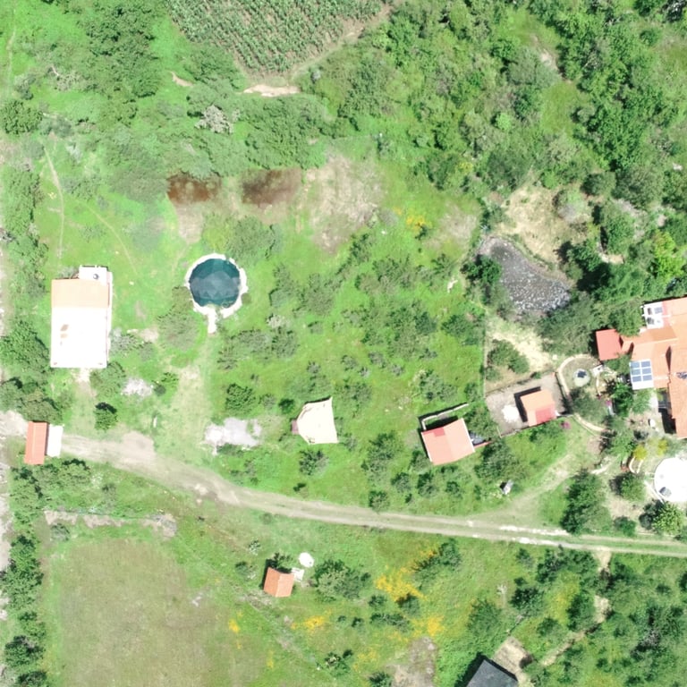
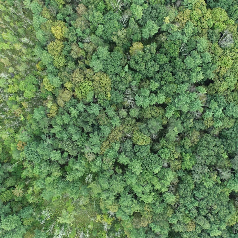
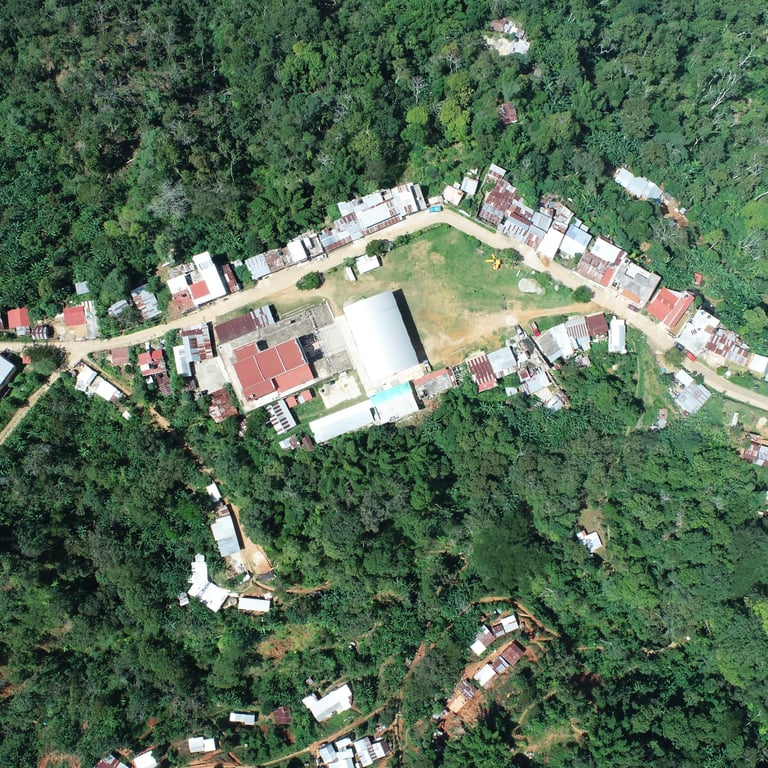
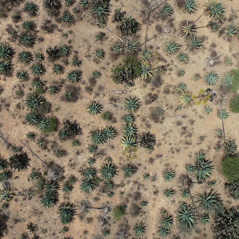
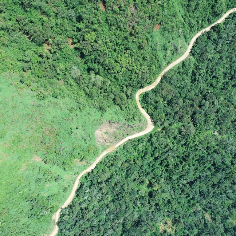
There is a wide range of landscapes that we have mapped.
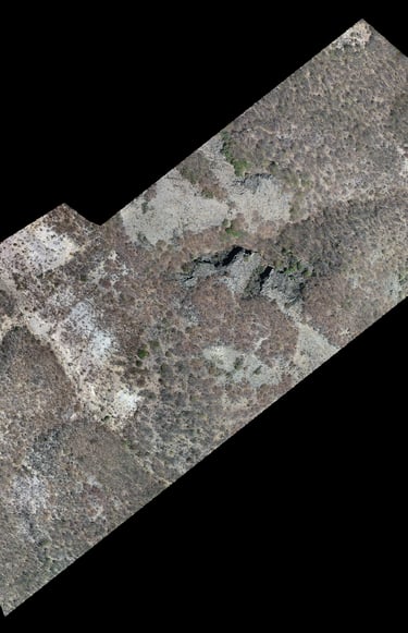
3 – 10 cm/Pixel
Digital Elevation Models
Contour Lines
Canopy Height Model
Multispectral Imagery